


Real Estate
Developers.
Transforming barren plots into thriving, managed eco-farms that deliver continuous ROI and unparalleled lifestyle appeal.
EXPLORE SUB-SECTORS
Select a sector to view specialized solutions.
Townships
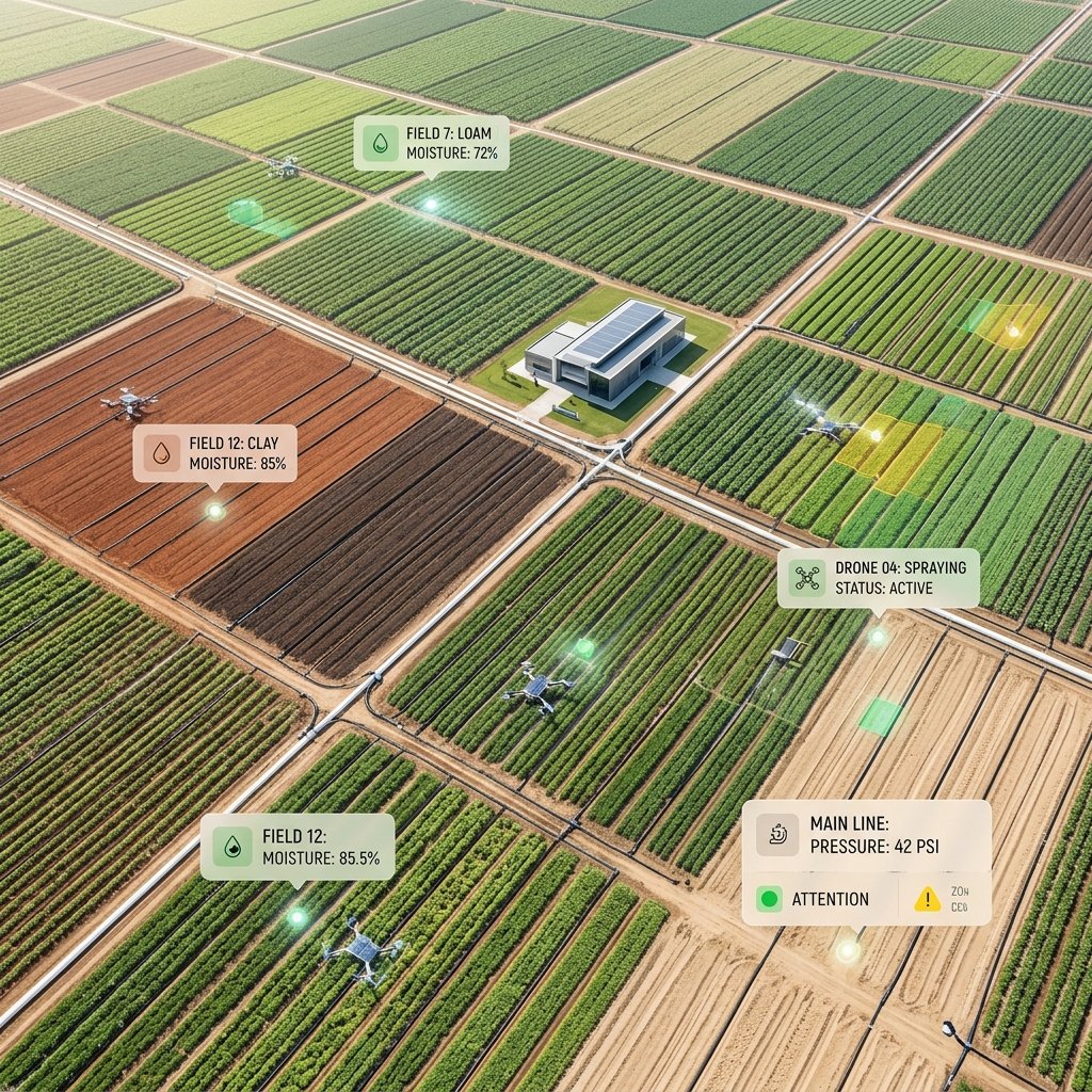
Comprehensive geospatial and soil analysis for real-estate developers before purchasing large tracts of land.
KEY FOCUS AREAS
Sustainable
Value Creation
We turn standard real estate into appreciating ecological assets through smart agriculture and eco-tourism integration.
Data Before Purchase
Equipping developers with hard environmental data before they commit capital.
Holistic Mapping
Combining satellite imagery, drone scans, and manual soil coring.
Risk Identification
Spotting hidden liabilities like high water tables or toxic soil early.
Developer Advantages
We deliver measurable results for our stakeholders, empowering farmers with real value and unparalleled agronomic expertise.
Investment Safety
Avoid purchasing land that is fundamentally unsuited for your planned development.
Better Valuations
Use detailed environmental data to negotiate better purchase prices.
Design Readiness
Hand over millimeter-accurate topographic data directly to your architects.
Our Proven Process
A systematic, transparent approach to achieve maximum farm productivity and long-term, sustainable growth.
Initial Recon
Satellite analysis to flag obvious red flags before deploying a team.
Drone Survey
Flying LiDAR drones to create exact 3D models of the terrain.
Soil Coring
Extracting deep soil samples to test for stability, water, and toxins.
Final Report
Delivering a comprehensive risk and viability dossier to the buyer.
Driven by Innovation
We integrate cutting-edge smart farming technologies to maximize your yields and minimize resource waste.
LiDAR Drones
Lasers that can map the ground perfectly even through dense jungle canopy.
Historical Weather DBs
Analyzing 50 years of climate data to predict 100-year flood events.
Subsurface Radar
Ground-penetrating radar to map bedrock and hidden water tables.
Slope Stability AI
Algorithms that calculate the exact risk of landslides on hilly terrain.
Ready to transform your properties?
Partner with KisanPlant to implement sustainable, large-scale agricultural projects.